Crannog Island: History & Access Routes
Discover the ancient settlement on Lough Ennell. We'll show you where to cycle for the best views and explain what you're looking at from the shore.
What You'll See From Your Bike
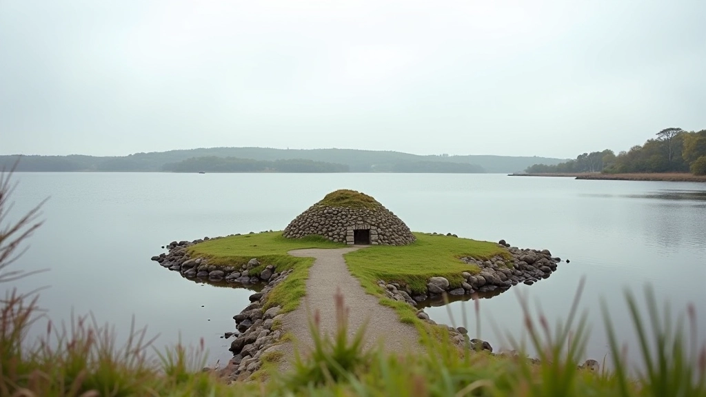
You don't need to be an archaeologist to appreciate Crannog Island. It's visible from several cycling routes around Lough Ennell, and the views shift depending on where you approach from. Most cyclists spot it on the western shore routes — a distinctive raised area with archaeological markers. The island sits about 200 meters offshore, and that distance actually works in your favor. You'll get clear sightlines without the hassle of crossing water.
The crannog itself dates back to the Iron Age — roughly 500 BCE. That's a settlement built deliberately on the water. Crannog means "artificial island" in Irish, and they weren't random structures. People chose these locations for protection, food access, and control of the water routes. From your bike, you're looking at something that's been significant for over 2,500 years.
01
The Western Shore Route: Best Overall Views
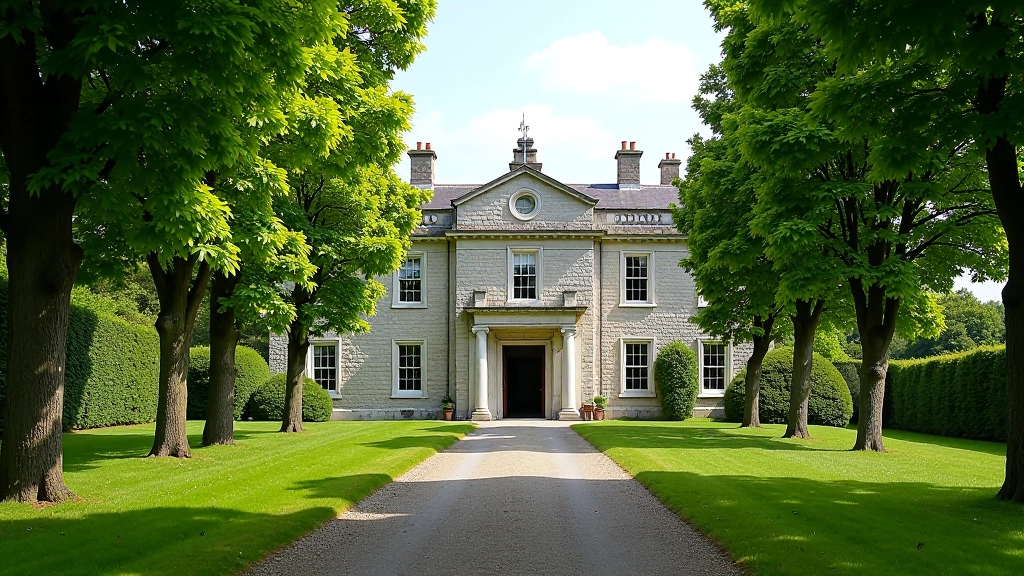
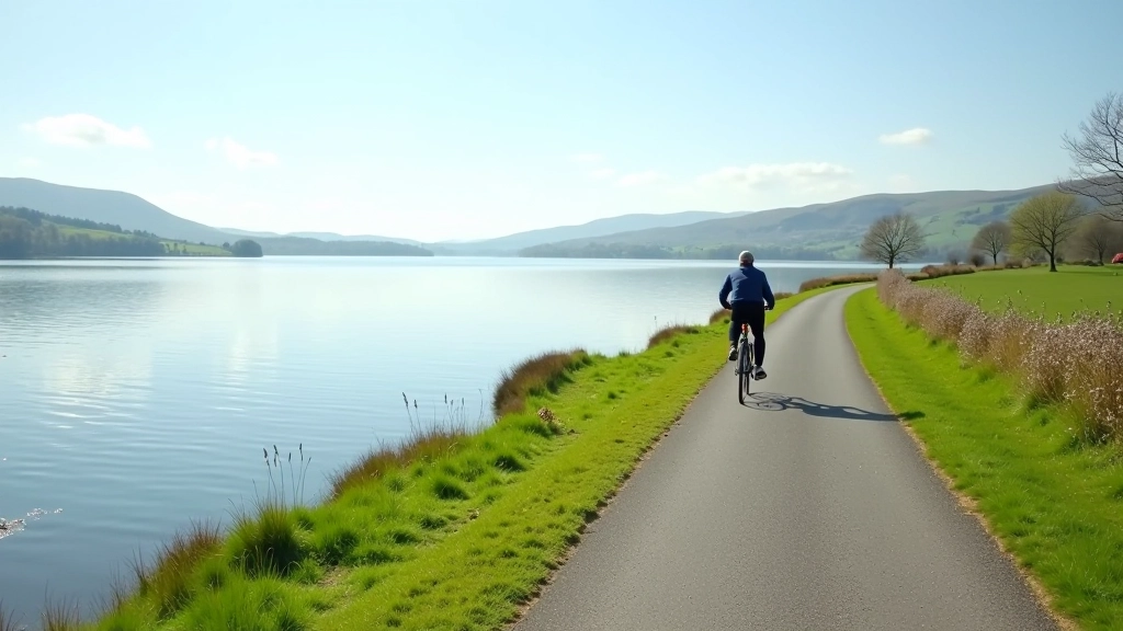
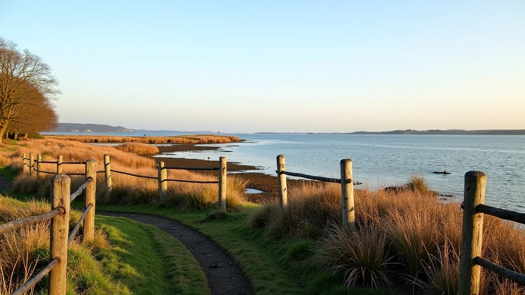
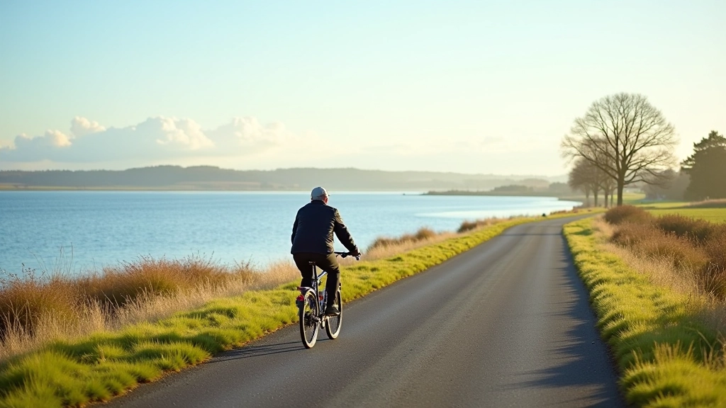
Start at Belvedere House and cycle west along the lakeshore. This 6-kilometer stretch gives you the clearest view of the crannog. You're riding relatively flat terrain on dedicated paths and quiet roads. The island sits almost directly across from you, and you'll pass several marked stopping points where locals and visitors stop to photograph it.
The ride takes about 30-40 minutes at a comfortable pace. We're talking easy pedaling — nothing strenuous. You'll notice the landscape changes as you go west. The water becomes shallower closer to shore, and that's where you'll spot reeds and water birds. The crannog's raised structure becomes more obvious from this angle. It's not just a lump in the water — you can see the deliberate construction.
Pro tip: Visit in early morning or late afternoon for the best light. The sun hits the island differently depending on the season, but afternoon light (roughly 2-4 PM) gives you the clearest shadows that reveal the archaeological details.
02
The Northern Loop: Quieter Alternative
If you prefer fewer cyclists and quieter roads, take the northern route. It's longer — about 10 kilometers — but you'll see the crannog from a different perspective. The island appears smaller from the north, and you're looking at it almost end-on. This angle actually reveals the elongated shape of the settlement better than the western view.
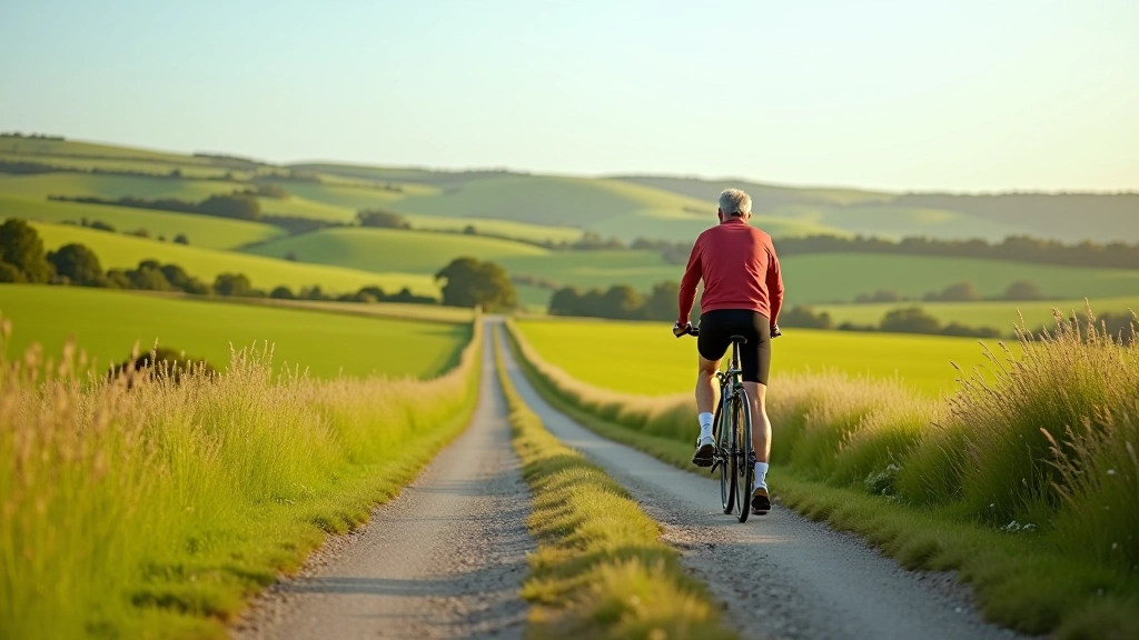
You'll cycle through small villages and past farmland. The roads here are quiet, mostly single-track with excellent surface quality. It's the route local cyclists choose when they want peaceful riding. The crannog doesn't dominate your view from here, but it's still visible across the water. Some riders find this less touristy — you're not stopping at the marked viewpoints, just appreciating the landscape naturally as you ride.

03
Understanding What You're Looking At
The crannog isn't just a random island. It's an engineered structure. Iron Age people built these deliberately — they'd drive wooden posts deep into the lakebed, then build up a platform. They'd add clay and stones, creating a raised area above the waterline. Families lived on these islands, sometimes multiple dwellings clustered together. They fished, farmed, and used the water as protection.
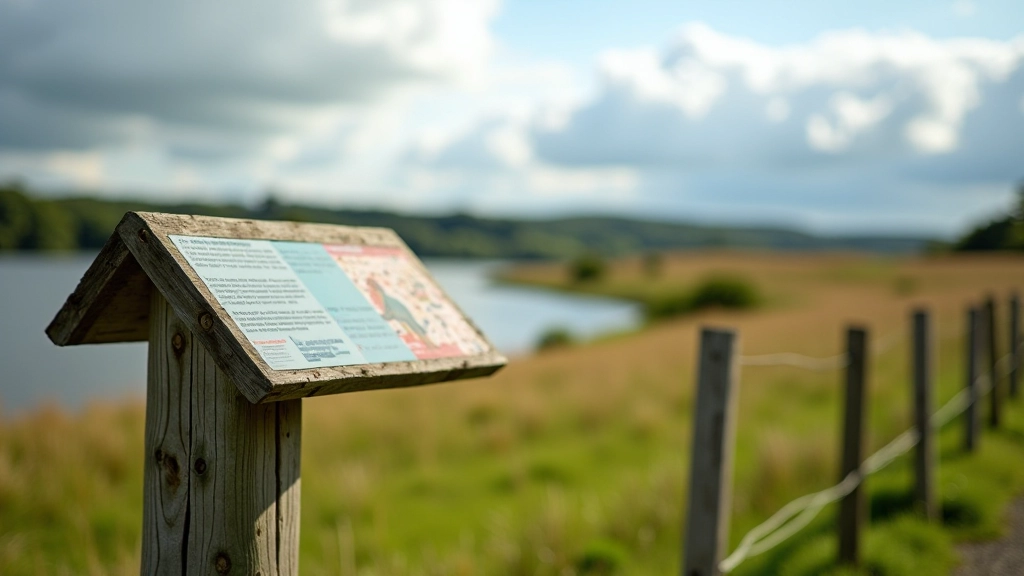
What you see now is a reconstructed interpretation. The original wooden structures haven't survived 2,500 years underwater, obviously. Archaeologists have excavated the site and found pottery, tools, and bones — evidence of daily life. The modern markers show where they've identified the ancient structures. You'll see raised areas and wooden posts that represent what researchers believe the original settlement looked like.
- The wooden posts you see are reconstructions based on archaeological findings
- The raised platform indicates where the main dwelling area would've been
- Multiple crannog sites existed on Irish loughs — this one is particularly well-preserved
- Water levels have changed since Iron Age times, affecting how the site looks today
Important Information
This article provides educational information about Crannog Island's history and accessible cycling routes. Archaeological interpretations are based on published research from the Irish Archaeological Wetland Unit and academic sources. Water conditions, weather, and route accessibility change seasonally. Always check current conditions before cycling, wear appropriate safety gear, and respect any access restrictions that may be in place. For detailed archaeological information, contact the National Museum of Ireland or local heritage organizations.